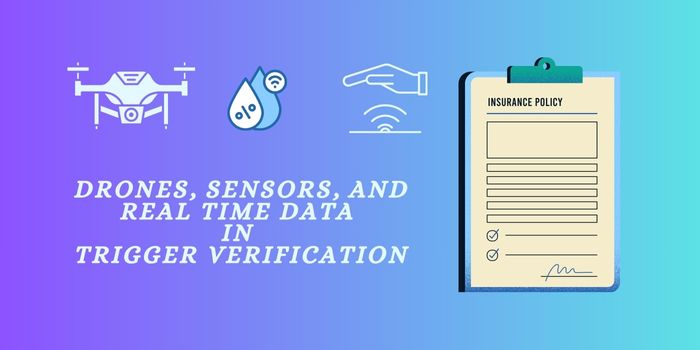
The accuracy and data of trigger verification plays an important role in claiming a parametric insurance. Nowadays drones, advanced sensors, and real time data are being used by insurance companies to confirm that a trigger event has occurred in that particular region. From aerial imagery that captures flood levels within hours, to ground-based sensors measuring wind speeds or seismic activity in real time, these technologies are delivering precise, verifiable evidence without the delays of traditional on-site inspections. The result is faster claim settlements, reduced disputes, and a higher level of trust between insurers and policyholders.
Use of Drones for Insurance Claims and Adjustments:
The insurance industry is one of the most highly competitive industries in the world. Insurance companies are continuously looking for ways to improve operational efficiency and the customer experience. Commercial drones are providing more actionable aerial data than ever before. For example, Airware’s operating system for commercial drones enables safe autonomous flights, requires minimal training, and helps meet compliance standards. Once a customer submits a claim regarding their residential property, adjusters can be sent out to the residence with trigger an Airware powered drone in their toolkit to inspect the roof. From the office, the job can be planned in advance by logging in to validate authorization, entering the property address, and selecting the data products to be collected.
Drone Setup to Collect the Data:
A geofence is automatically established along the property boundary to ensure the drone only flies and collects data within the customer’s property lines. The software also restricts flights in no-fly zones such as near airports or national parks. Contingency procedures are pre-programmed to automatically take effect if the vehicle has low battery or loses GPS, ensuring it returns home and lands safely. Once the geographic boundary for the photo survey is set, the software calculates the flight path, and the job is assigned to an adjuster.
Field Operations to Data Insights
In the field, the adjuster logs in to the Airware cloud to see all job details. Thanks to prior planning, the adjuster simply performs pre-flight safety checks and launches the vehicle. The drone flies autonomously, executing the flight plan without user intervention, although the operator can pause, resume, or land at any time. Once the flight is complete, the data is uploaded to the cloud, automatically attached to the job, and accessible only to authorized personnel. The property’s orthomosaic image is available in high detail, with overlays such as geofences, color relief maps, flight paths, and photo markers.
Individual high-resolution images are geo tagged, measurements can be taken, 3D models analyzed, and custom reports generated. Information can be shared with team members and stakeholders. Companies like Airware are building a complete solution for managing and operating commercial drones, whether for individual property inspections or assessing an entire community after a natural disaster improving operational efficiency and customer experience by taking insurance business to the skies.
Sensors to Collect Data of Damage
In parametric insurance, sensors are often used to collect precise, objective data at the time the damage causing event occurs. Sensors are the quiet heroes in trigger verification, working behind the scenes to capture hard facts in real time. The technology partners of the Insurers will install these sensors at strategic locations and they will maintain, and monitor these sensors to collect the reliable data. Below are the list of sensors used by technology partners of the insurers.
- Flood sensors: This is designed in such a way to measure the rising water levels during a storm to confirm when they pass the trigger threshold.
- Weather stations track wind speeds in real time during a cyclone.
- Seismic sensors are used to record ground shaking during an earthquake.
- Temperature sensors will monitor extreme heat or frost conditions affecting crops.
Whether it’s a rainfall gauge in a remote village, a water level sensor by a riverbank, or a seismic detector under the earth, these devices are constantly watching for the exact conditions outlined in a parametric insurance policy. When thresholds are crossed like floodwaters rising above a set limit or wind speeds hitting hurricane force the sensor instantly sends verified data to the insurer. This means no waiting for manual inspections or guesswork; the trigger can be confirmed within minutes, paving the way for faster, more transparent payouts.
Also, Read: